

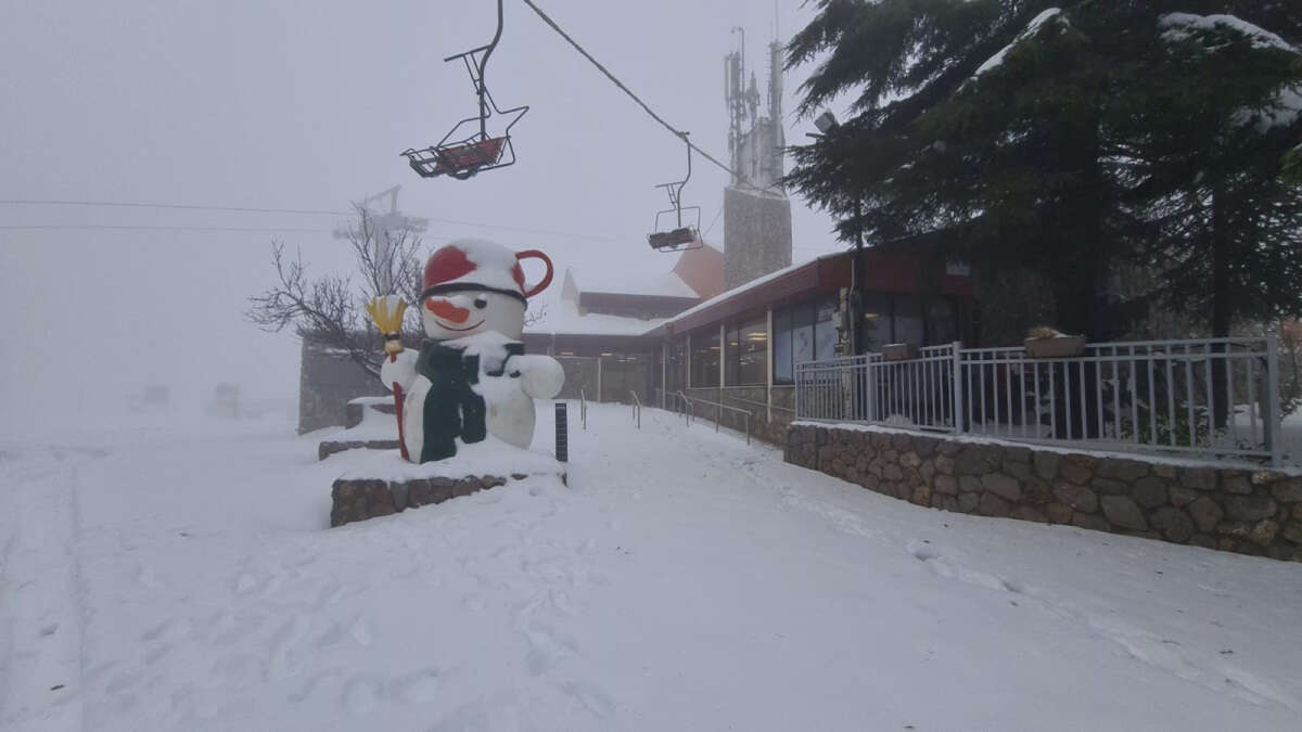
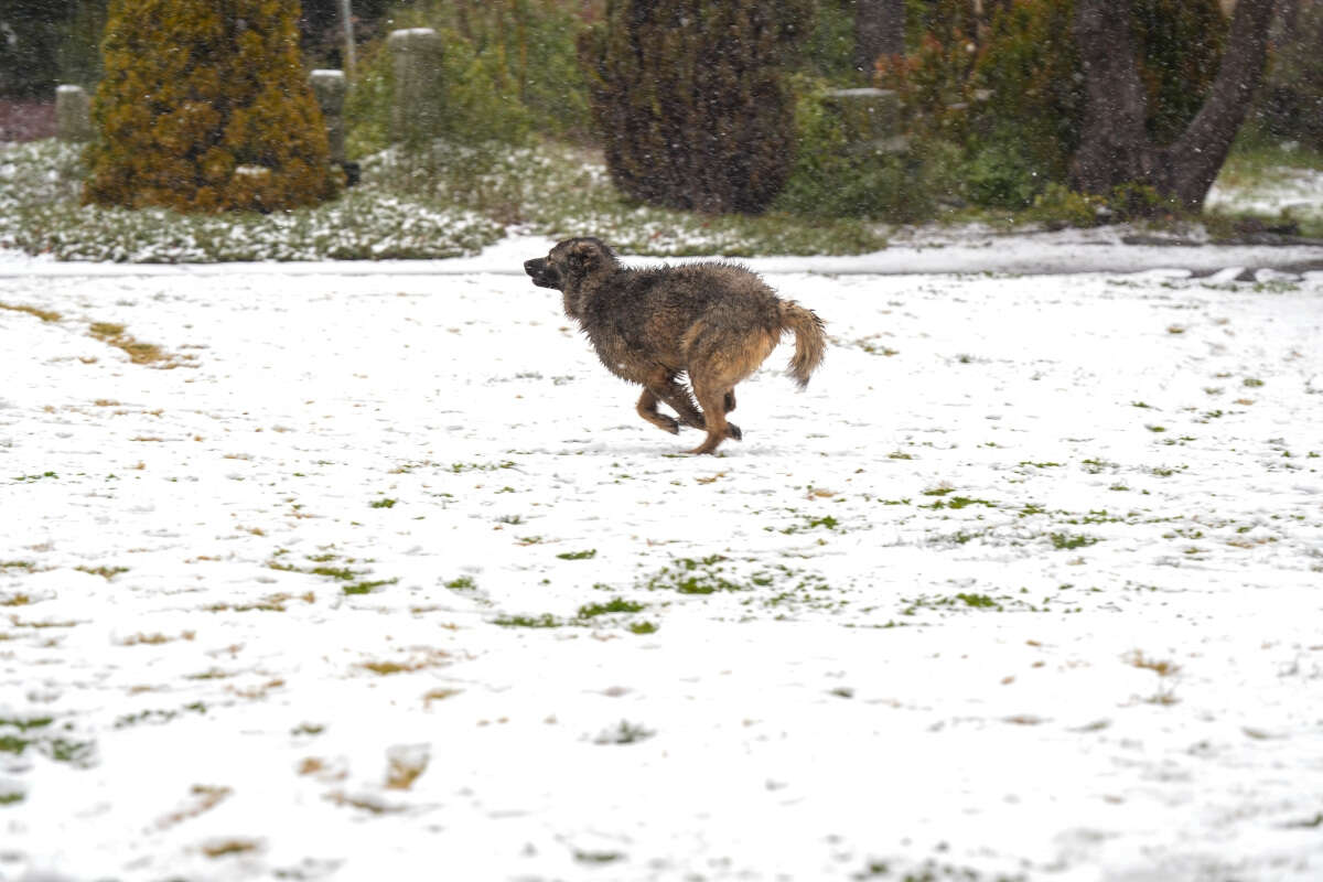
In a rare meteorological event, light snow blanketed regions across Israel on Sunday evening, with flurries reaching Mount Carmel for the first time in eight years after the significant cold front Coral brought temperatures to near-freezing levels across much of the country.
According to Dr. Amir Givati, director of the Meteorological Service, "The snow is not expected to accumulate beyond a thin layer on the ground, but attention should be paid to wet roads from the light precipitation and possible ice formation toward morning." Temperatures will reach their lowest point overnight, with a slight warming trend beginning on Tuesday.
In Jerusalem, snow flurries were observed intermittently throughout the morning, expected to cease completely within the hour. Jerusalem municipality is already beginning to return to routine operations, planning to return snow plows to their stations within several hours. The salt quantities purchased were spread on roads to help manage ice formation.
The severe cold wave named Coral is nearing its end, but not before it sends temperatures plummeting to freezing levels yet again all across Israel, making Monday night the potentially the coldest this winter. Tuesday morning is expected to be particularly cold with frost possible in large parts of the country following an especially cold and freezing night.
The severe cold will weaken during the afternoon hours on Tuesdya with an additional sign of mild warming being the absence of frost in the coming night. In the coming days, it will still be very cold, but a gradual warming of one or two degrees Celsius (1.8–3.6 degrees Fahrenheit) will begin each day. Additionally, the Mediterranean Sea will be very dangerous for swimming on Tuesday, and people should be cautious and avoid entering the water.


