

The Israel Meteorological Service has officially joined the European initiative for naming significant weather events, announcing "Coral" as the designation for an exceptional cold wave approaching Israel. The storm system is set to impact the country from this weekend into early next week.
The naming convention, established in partnership with meteorological services in Cyprus and Greece, was introduced at the season's start. While the first two named storms this season affected only Greece, Coral marks the first storm to target the eastern Mediterranean region, including Israel. Weather services typically reserve names for events that pose potential public safety risks and require advance preparation by authorities.
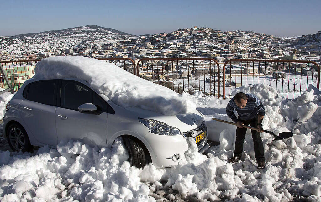
Coral is forecast to deliver arctic temperatures direct from the North Pole, accompanied by snowfall across the northern mountains, central regions, and likely Jerusalem. Current projections indicate snow will begin in the northern mountains on Saturday. The snowfall is expected to expand to unusually low elevations by Sunday, with snowfall possible in areas above 1,640–2,297 feet, stretching from the northern border through Jerusalem and extending to the Hebron hills. Meteorologists note it remains challenging to predict precise snowfall amounts and potential ground accumulation.


